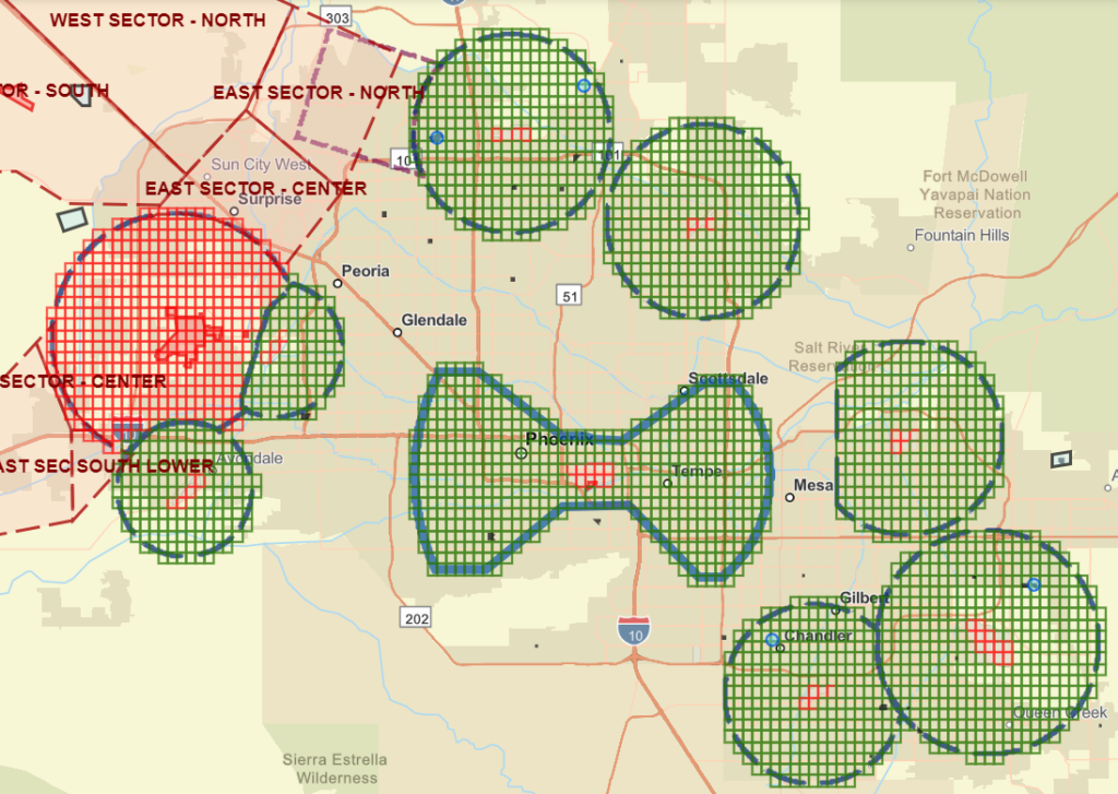
If your organization isn’t quite ready to start its own drone program, or if you need to supplement your team of pilots for larger projects, our fully insured and certified Remote Pilots are ready to provide the aerial intelligence needed to keep your operations running efficiently, safely, and cost-effectively.
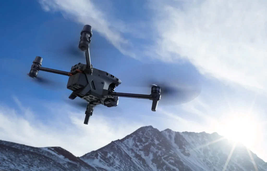
Experience firsthand the latest in aerial technology, tailored to your needs. From tactical and confined space drones to long duration drones, discover the perfect fit for your goals.