
Drone services
Unlocking Possibilities: Your Trusted Partner for Tailored Drone Solutions
Drone Services:
Asset Management Services
We capture high-resolution imagery with drones and integrate it into advanced asset management software that uses AI and geospatial tools, enabling organizations to remotely track, assess, and manage assets in real time, while optimizing maintenance and supporting data-driven decision-making.
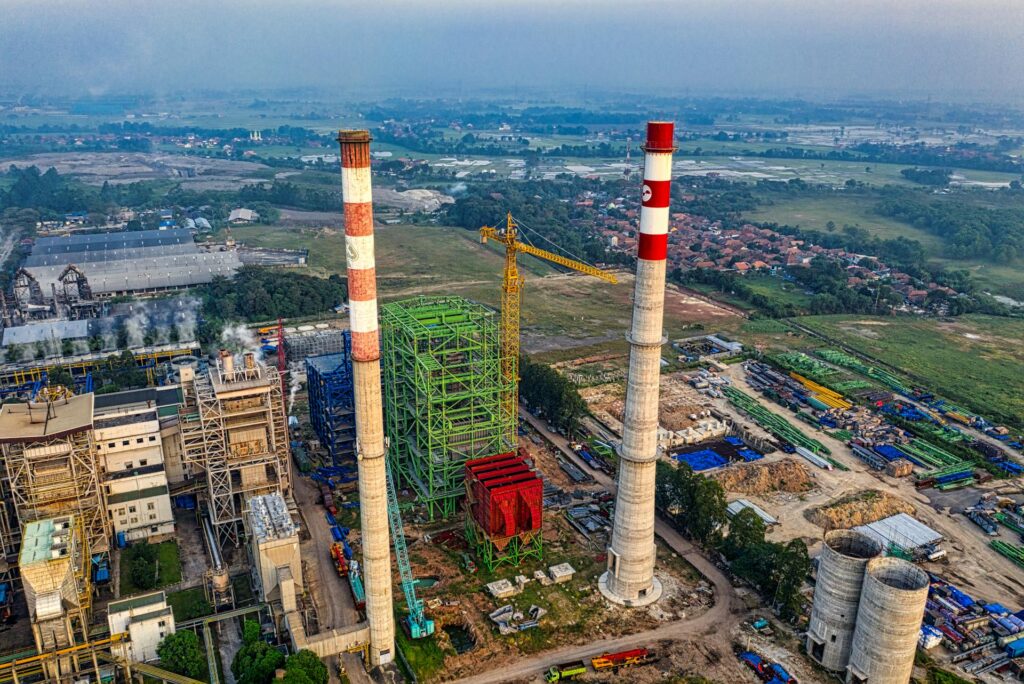
Utilities
We provide specialized drone services for utility companies, capturing high-resolution imagery to monitor infrastructure such as power lines, pipelines, and substations. Our solutions help with inspections, condition assessments, and real-time data integration into asset management systems, enabling efficient maintenance, reducing downtime, and ensuring compliance with safety standards.
Aerial Mapping and Modeling
We capture high-resolution imagery for photogrammetric processing, creating interactive 2D and 3D orthomosaic products that deliver actionable insights.
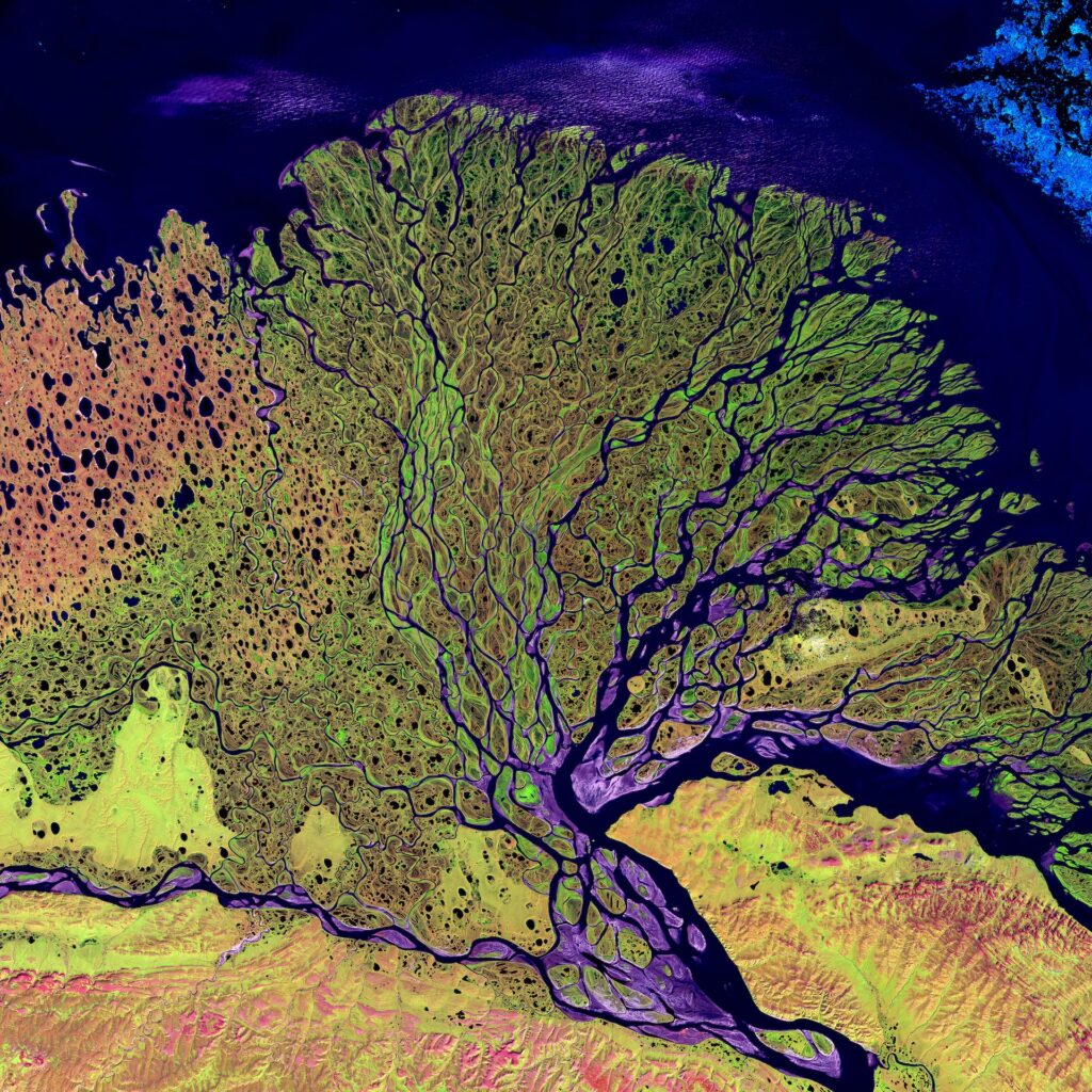
Environmental Monitoring
Monitoring wildlife, habitats, and ecosystems for conservation efforts, pollution detection, and environmental impact assessments.
Construction Site Monitoring
Tracking construction progress, managing inventory, quantities, production, and generating aerial progress reports for construction companies and project managers.
Mining and Materials Reports
Generating inventory and production reports based on aerial data at mining sites.
Oil/Gas
We provide comprehensive services in the oil/gas industries, utilizing advanced drone technology for topographical mapping, slip detection, etc.
Disaster Response
From assessing structural integrity to mapping out affected areas, our drones provide real-time data that enables emergency responders to make informed decisions and prioritize resources effectively.
Specialized Inspections
Conducting inspections in hard-to-reach or hazardous areas such as cell towers, wind turbines, solar panels, and confined spaces.
Aerial Photography and Videography
Capturing high-quality aerial images and videos for various purposes including real estate, events, marketing, and tourism.