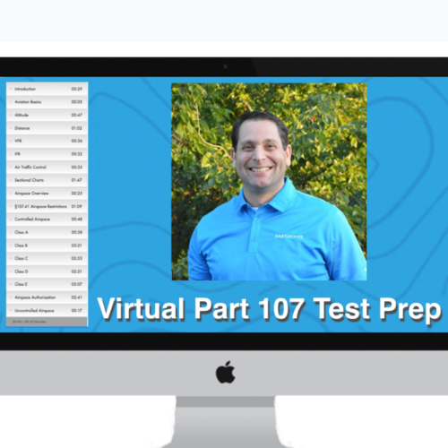
The DARTdrones Aerial Mapping and Modeling Live Virtual Workshop helps pilots develop the skills needed to fly drones for mapping missions. Learn to effectively gather, analyze, and export mapping data.
Why does a new aerial mapper need this course? The ability to collect imagery that will be used for photogrammetric processing has become a critical skill for professional drone operators. The interactive orthomosaic products produced using photogrammetry provide tremendous amounts of actionable information, and companies that are hiring drone service providers expect them to understand the critical components of these datasets.